

North Texas Heat Wave Intensifies Drought as Wildfire Smoke Prompts Air Quality Alerts

Share
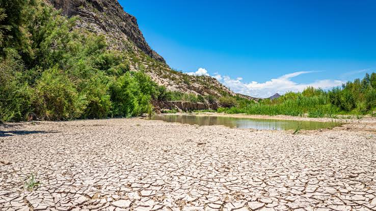
An unrelenting late-summer heat wave continues to grip North Texas, deepening regional drought conditions and elevating wildfire hazards across the Dallas-Fort Worth metroplex heading into September.
The National Weather Service office in Fort Worth forecasts Saturday afternoon temperatures to reach between 101 and 102 degrees, with relative humidity pushing heat index values up to 105 degrees. Morning lows will dip only into the upper 70s before rapidly climbing back into the 80s and beyond. Forecasters warn that above-average temperatures and negligible rainfall will likely persist through at least Sept. 7.
Recent scattered storms did little to alleviate dry conditions across the region. According to the latest data from the U.S. Drought Monitor, the proportion of Texas experiencing moderate drought surged from 36.11% to 57.36% in just one week.
The prolonged dry spell has significantly heightened fire danger, especially in communities west of Interstate 35. Regional emergency crews continue to battle the Ross fire in Palo Pinto County while monitoring several newly sparked grassfires. Wildfire smoke drifting across the metroplex prompted environmental officials to extend an air quality alert through Saturday.
Authorities urge residents to exercise extreme caution with outdoor activities that could generate sparks, avoid all unnecessary open burning, and never leave fires unattended.
Extended forecasts from KXAS-TV (NBC5) indicate no immediate relief on the horizon. Daily highs are projected to remain between 101 and 102 degrees through Thursday, with overnight lows hovering near 80 degrees as September begins.